
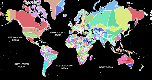
Topi Tjukanov's Neighbors is an interactive map which shows the nearest country to every location on Earth. On the map places around the world are colored to show which neighboring country that they are closest to.
If you click on a location on the Neighbors map an information window opens telling you which country that location is in and what country is its closest neighbor. The map is also colored to show the regions which have the same closest neighbor. For example much of the southern half of the U.S. is colored green because its closest neighbor is Mexico (except for the extreme south-east which is colored brown because it is closer to the Bahamas).

Everywhere in the world which is closer to Austria than to any other country
You can use the map filters to find all the locations of the world which are closest to your country. For example if you select 'Austria' from the bottom filter you can view all the areas of neighboring countries which are nearer to Austria than any other country.
If you like Topi's map then you might also enjoy What's Across the Ocean? - a look at mapping what countries are directly across the ocean.
2 comments:
I like me.
🕴🕴🕴🕴🕴🕴🕴🕴🕴🕴🕴🕴🕴🕴🕴🕴🕴
Post a Comment