
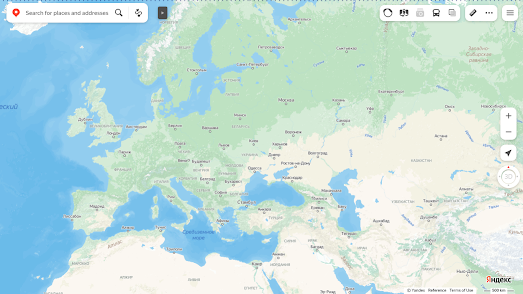
Russia's interactive maps no longer have country borders. If you visit Russia's online map service Yandex you may notice something a little odd, especially if you are trying to find the international border between two neighboring countries. This is because Yandex no longer displays country borders on its map.
The Moscow Times quotes a Yandex spokeperson as saying that the decision has been taken to drop international borders in order to "focus on natural features rather than on state boundaries. Our task is to display the world around us. So the map will show mountains, rivers, and other data usually found on such maps".
It isn't uncommon for interactive map companies to have issues with international borders. Google Maps for example may show you different international boundaries depending on which country you are accessing the map from. For example, according to The Guardian, if you
"Look at the Crimean peninsula on Google Maps UK – it’s separated from Ukraine by a dark-grey dotted line to mark a disputed border. Look at it on Ukrainian Google Maps and the dotted line is light-grey, of the sort used to demarcate states. On Google Maps Russia? A solid black country border, showing Crimea as part of the country."
What is unusual however is for an interactive map provider to remove international borders completely. As the Moscow Times reports Yandex's decision to drop international borders from its map coincided with the decision by pro-Kremlin officials to hold fake referendums in Russian-occupied areas of Ukraine in order to try and illegally annex these territories.
The removal of all international borders by Yandex does suggest that there is no limit to Putin's ambition. If Russia's neighbors were not already worried about Putin's future plans they probably are now. The only people who are probably sleeping a little easier after this decision by Yandex are Russian cartographers.
No comments:
Post a Comment