

Traveling along the bottom of the Mamers Vallis canyon on Mars
Imagine being able to drive through the Mamers Vallis canyon on Mars, traveling along the canyon floor while marveling at the canyon walls which were formed 3.8 billion years ago. Better still don't imagine it. Instead use AreoBrowser to actually explore Mars in 3D.
The AreoBrowser allows you to explore over 2000 Martian locations in full 3D. The map uses data from the HiRISE camera (on-board NASA’s Mars Reconnaissance Orbiter) and the HRSC (on-board ESA’s Mars Express) to create full 3D terrain model of locations visited by NASA's Mars rovers on the red planet.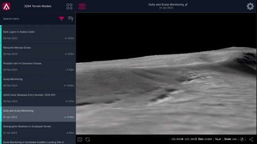
To explore the 3D terrain models on AreoBrowser select the 3D Models option on the site's home page. You can then browse through and explore in 3D any of the current 2,204 locations featured on AreoBrowser. While in one of the 3D terrain models you can navigate by using your keyboard arrow keys to move the camera. You can rotate the camera by holding your mouse's right-hand button. Zoom in and out using your '+' or '-' keys or by using a mouse scroll wheel.
You can find many other interactive maps of the red planet (including Caltech's recent Global CTX Mosaic of Mars) interactive by checking out the Mars tag on Maps Mania.
No comments:
Post a Comment