Create Your Own Aerial Imagery Map
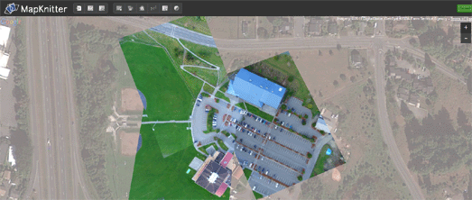
MapKnitter is a free and open source tool for aligning and creating maps from overhead images.
The tool allows anyone to take a single aerial image or a series of aerial images and align them, with the help of Google Maps satellite view. Images maps created with MapKnitter can be exported in GeoTiff, TMS/OpenLayers, and JPG formats.
You can explore maps created with the tool by location and the most recent maps are also featured on the home page of MapKnitter.


Comments