Сообщения
Сообщения за сентябрь, 2023
How Not to Stare at the Sun
- Получить ссылку
- X
- Электронная почта
- Другие приложения
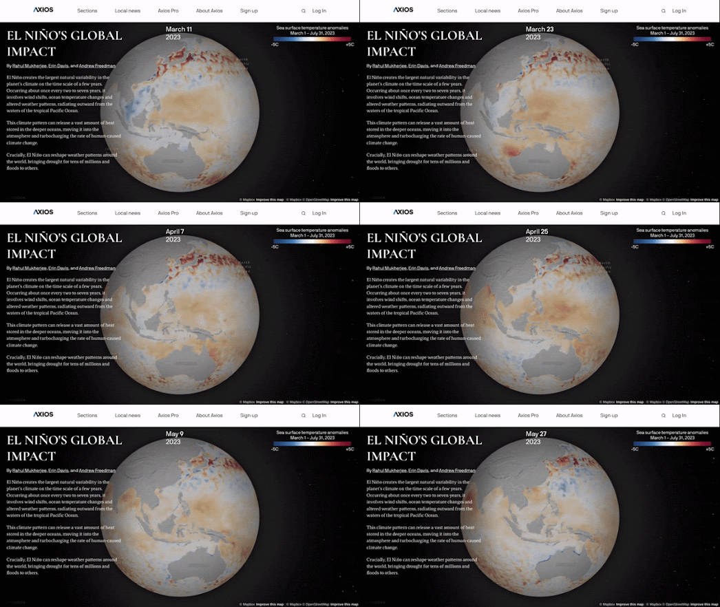
The Global Impact of El Niño
- Получить ссылку
- X
- Электронная почта
- Другие приложения
More Medieval Murder Maps!
- Получить ссылку
- X
- Электронная почта
- Другие приложения
The Same Size As
- Получить ссылку
- X
- Электронная почта
- Другие приложения
The Global Problem of Forever Chemicals
- Получить ссылку
- X
- Электронная почта
- Другие приложения
A Cool, Shady Spot with a Breeze
- Получить ссылку
- X
- Электронная почта
- Другие приложения
Restricting the Right to Protest
- Получить ссылку
- X
- Электронная почта
- Другие приложения
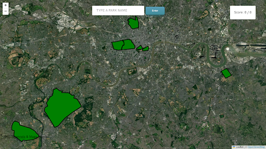
The Royal Parks of London
- Получить ссылку
- X
- Электронная почта
- Другие приложения
The Global Migration Explorer
- Получить ссылку
- X
- Электронная почта
- Другие приложения
Live 2 Years Longer with Better Air Quality
- Получить ссылку
- X
- Электронная почта
- Другие приложения
Olympic Stadia Travel Times
- Получить ссылку
- X
- Электронная почта
- Другие приложения
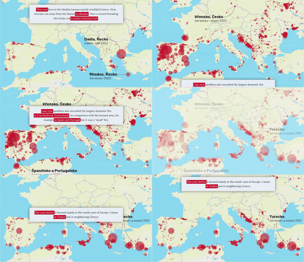
A Year of Wildfire in Europe
- Получить ссылку
- X
- Электронная почта
- Другие приложения
How Families Live Around the World.
- Получить ссылку
- X
- Электронная почта
- Другие приложения
The Unknown Pleasures of Population Density
- Получить ссылку
- X
- Электронная почта
- Другие приложения
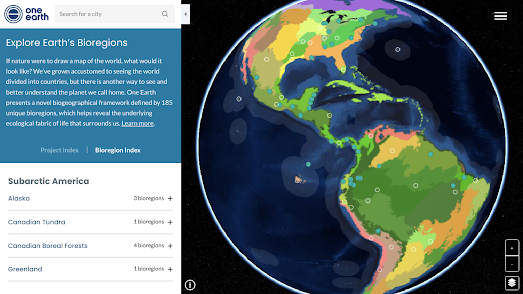
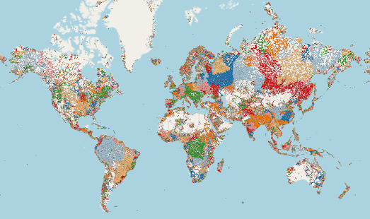
The World's Bioregions & Ecosystems Mapped
- Получить ссылку
- X
- Электронная почта
- Другие приложения
The City Map Game
- Получить ссылку
- X
- Электронная почта
- Другие приложения
The Virtual Tour Maker
- Получить ссылку
- X
- Электронная почта
- Другие приложения
The Streets of San Francisco Game
- Получить ссылку
- X
- Электронная почта
- Другие приложения
Map of the Best Restaurants
- Получить ссылку
- X
- Электронная почта
- Другие приложения
Geolocating General Surovikin
- Получить ссылку
- X
- Электронная почта
- Другие приложения
Finding History Nearby
- Получить ссылку
- X
- Электронная почта
- Другие приложения
How Near do You Live to a Mass Shooting?
- Получить ссылку
- X
- Электронная почта
- Другие приложения
The River Basins & Watersheds of the World
- Получить ссылку
- X
- Электронная почта
- Другие приложения
Mapping the Colors of Autumn
- Получить ссылку
- X
- Электронная почта
- Другие приложения
Mapping the Great Kantō Earthquake
- Получить ссылку
- X
- Электронная почта
- Другие приложения
The AI Satlas
- Получить ссылку
- X
- Электронная почта
- Другие приложения

