Virtual Rewind Machines
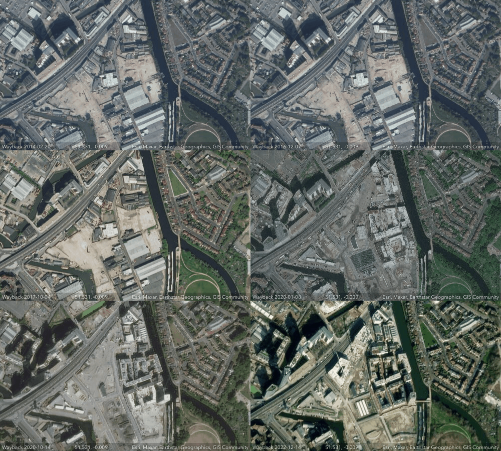
Esri's World Imagery Wayback is a virtual rewind machine which allows you to create animated GIFs of locations showing how they have changed over time. The World Imagery Wayback interactive map provides access to satellite imagery captured over a period of years, currently stretching back to February 20, 2014.
Using the map you can center on any location in the world. You then need to simply press the play button to automatically create an animated timelapse GIF from a series of satellite images captured over the years since 2014. If you then select the download button you can save your animated timelapse creations.
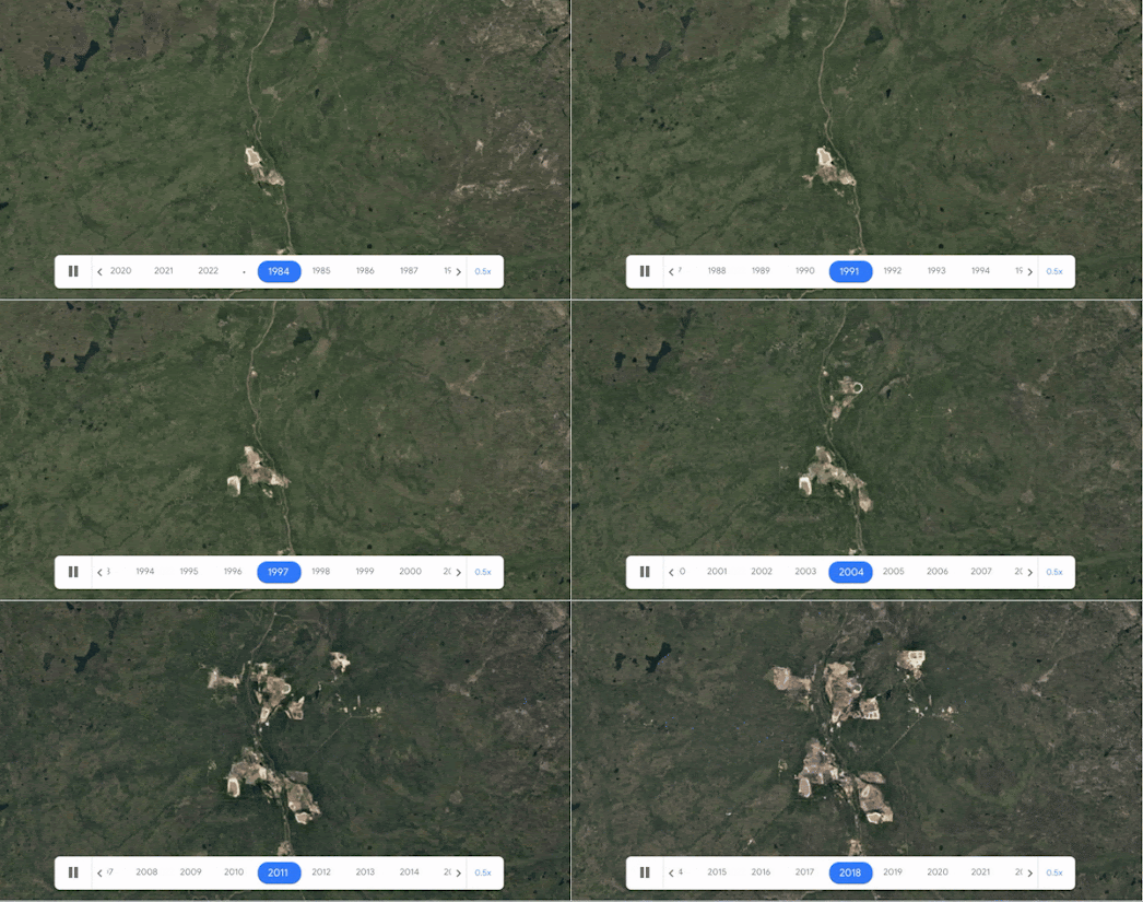
mining development in Alberta, Canada
The Landsat program has been capturing satellite imagery of the Earth since the early 1970's. This means they now have access to over 40 years of satellite imagery, which is a wonderful resource for documenting changes to our planet.
Landsat Lens allows you to explore how the Earth has changed by comparing Landsat satellite imagery from six different years. The map allows you to search for any location on Earth and then overlay satellite imagery of your selected location from 1975, 1990, 2000, 2005, 2010 & 2015.


Комментарии