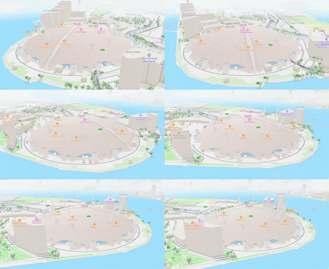
Making Animated Map GIFs
This morning I have been having a lot of fun playing with Darren Wien's new Fly To tool for making animated map GIF's. Using the new Fly To wizard you can easily make your own map fly-thru animations simply by pointing to a starting and ending location on an interactive map. The tool is a great way to create map fly-thru GIFs to illustrate news stories or to enhance blog or social media posts.
The tool includes a number of options. For example you can select whether you want 3D terrain, 3D buildings or whether you want to use a satellite or street map. After you have selected your map layer and set your stating and ending points you just need to click on the 'Start Animation' button and 'Fly To' will create you animated map scene.
If you are happy with the animated fly-thru that you have created you can download the results as a series of image PNGs or alternatively you can make a screen-recording of your animation. You can then use your favorite GIF tool to turn the results into an animated map GIF.
To make the GIF of Mount Fuji (shown at the top of this post) I uploaded the PNG images (downloaded from Fly To) to Ezgif and let it do all the animation work for me. For the other GIFs in this post I actually took screen recordings of the Fly To animations and used Ezgif's Video to GIF wizard to create the completed GIFs.
.gif)


Комментарии