Leaflet in the Amazon

National Geographic is using the Leaflet mapping library as part of its journey into the Amazon. However it isn't only using Leaflet in the way you might expect.
Amazonia Under Threat is a detailed examination of the effect of people and human industry on the delicate ecosystem of the Amazon region. You might expect Leaflet to be used in this investigation just to map the Amazon, to show the extent of deforestation and the encroachment of people on the area. However it is also being used to help illustrate the various ecosystems found in the region.

The National Geographic's report does include Leaflet maps. For example, Leaflet has been used to map the Rain Forest's protected areas and current land-cover. It is also being used to map the encroachment of roads in the forest, the extent of deforestation, the areas effected by mining and the rise of gas and oil exploration.

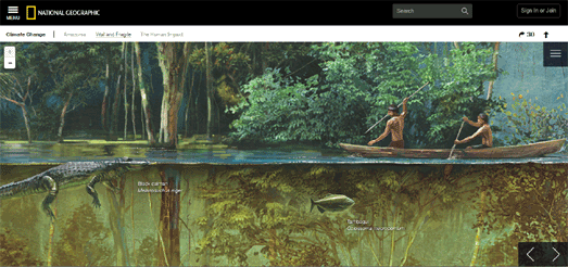
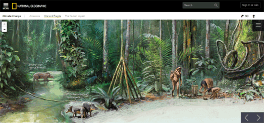
However Leaflet has also been used in the report to present some beautiful illustrations of life in the Amazon. Using the Leaflet mapping library as an illustrative device is a clever idea. It allows readers of the National Geographic's report to explore the illustrations in detail using the panning and zooming controls which they are used to from the Leaflet maps in the investigation.


Комментарии