Skip to main content
Search
Search This Blog
Maps Mania
Posts
Showing posts from July, 2024
Show all
July 31, 2024
The Best Graphics Team in the World
July 30, 2024
Rat-Town, Massachusetts
July 29, 2024
AI-Powered Satellite Search
July 27, 2024
The US Road Fatality Map
July 26, 2024
Mapping Power Outages in Kiev
July 25, 2024
Your Daily Map Trivia Game
July 25, 2024
The Catalan GeoGuessing Game
July 24, 2024
Tracking American Spies in Germany
July 23, 2024
The Retro Gamer's Map
July 22, 2024
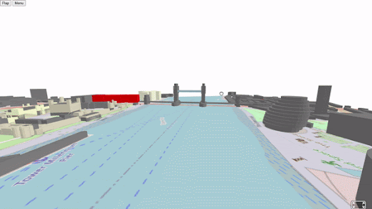
Virtual Reality OpenStreetMap
July 20, 2024
10 Million Street Views
July 19, 2024
30 Days of Crashes in New York City
July 18, 2024
The 2024 European Election Map
July 17, 2024
Battles of World War II & American Wars
July 16, 2024
Your Urban Heat Island Score
July 15, 2024
Trains, Balloons and Automobiles
July 13, 2024
The D-Day Map Room
July 12, 2024
Your Future Climate Twin
July 11, 2024
Europeans Profiting from American Deaths
July 10, 2024
John Snow's Proximity Mapping
July 09, 2024
AI Satellite Search
July 08, 2024
France Defeats the Far-Right
July 06, 2024
The Car Free Cities Atlas
July 05, 2024
2024 UK Election Maps
July 04, 2024
The Riskiest Places to Live in America
July 03, 2024
Climate Change by Electoral District
July 02, 2024
Tory Candidates Violently Attacked
July 01, 2024
France Surrenders to Facism
Newer Posts
Older Posts
Home