The Australian Land Cover Map
The Digital Earth: Australia Land Cover map is a collection of annual land cover maps for Australia. The map allows users to explore Australian land usage for any year between 1988 and 2020, allowing you to see how the environment has changed over time. Using the map you can explore land cover changes resulting from bushfires, the natural fluctuations in vegetation cover over time, and more permanent changes to land cover resulting from urban development.
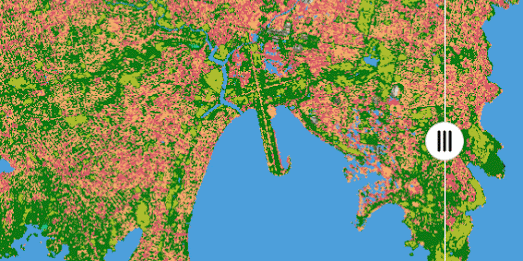
The map breaks down Australia's landscape into six basic land cover classes, and more than 80 detailed sub-classes.The six basic land cover classes include natural vegetation, cultivated vegetation and artificial surfaces. Each of these six land cover classes and 80 sub-classes are shown on the map using different colors.


Comments