Prevailing Winds & Runway Alignment
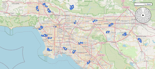
Wind History is a new interactive map which shows the prevailing wind directions around weather stations in the United States. Most of these weather stations are located at airports.
On the map 2,500 wind rose diagrams show the normal wind direction at airports across the United States. A larger date control allows you to view the prevailing wind directions at all airports on the map for any month or for any combination of months. By selecting different months on this date control it is possible to view how the prevailing winds at any airport might change over the course of the year.
The orientation of runways at airports are normally determined by the prevailing wind directions. Aircraft find it easier to land without a crosswind and planes can more easily take-off and land upwind. Aircraft also need a lower ground speed at both landing and take-off when they are pointing into the wind. As a consequence runways are usually built to point in the prevailing wind direction. In fact compiling a wind rose showing local wind directions is often one of the first steps taken when building a new airport runway.

If you are interested in the orientation of airport runaways around the world then you can explore the beautiful interactive Trails of Wind map. This interactive map colors airport runways based on their orientation.
Blue lines on the map show runways aligned on a predominantly north-south axis and yellow lines show runways on an east-west axis. Zoom in on any location in the world and you can get a good idea of the prevailing wind direction from the orientation of the airport runways on the map. If you zoom in on the central states in the USA you can clearly see a majority of runways have a north-south orientation. The UK, France and Germany seem dominated by east-west orientated runways, while around the Mediterranean runways appear to be constructed along a north-south axis.


Comments