The Earth Shakes
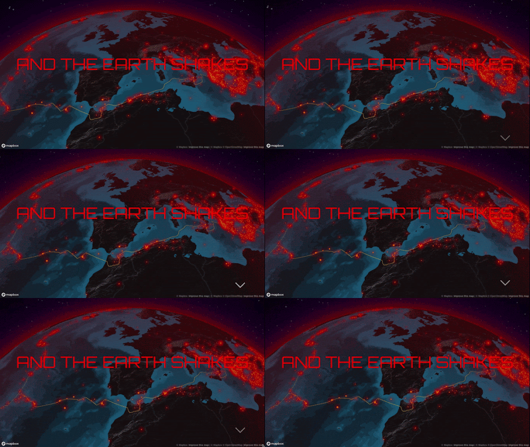
And the Earth Shakes is an interactive storymap which explores the location and magnitude of earthquakes around the world since 1900. The map and data visualizations were created by the atlo data journalism team using data from the United States Geological Survey.
The first part of And the World Shakes uses an interactive globe to show the locations of around 37,000 earthquakes which have occurred since 1900. As you scroll through the article the globe takes you on a tour of some of the most impactful earthquakes of the last 123 years. These include the recent earthquake to hit Turkey and Syria, the largest recorded earthquake (May 22 1960 in Chile), the 9.2 magnitude earthquake which hit Alaska on March 28 1964, and the San Francisco earthquake of April 18, 1906.You can explore all post-1900 earthquakes greater than magnitude 5.5 on the interactive map yourself by using the filter controls which appear when you reach the end of the map presentation. These controls allow you to filter the earthquakes shown on the globe by year, strength and tectonic plate.
The second half of And the World Shakes explores the strength and depth of post-1900 earthquakes. The article also takes time to explain what causes earthquakes to occur and the nature and effect of their shockwaves.
And the Earth Shakes is in Hungarian. However the data visualizations in the article are fairly self-explanatory and the whole site can be read in English using the 'translate' option in the Chrome browser.


Comments