Four Seasons in One Map
Chronolog is an interactive map of timelapse photographs designed to help monitor the environment. It is a citizen science project which encourages organizations and individuals to engage with nature while recording and monitoring the changing environment.
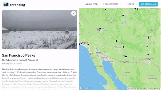
The Chronolog map allows you to explore timelapse photos of nature which have been captured around the USA (and one or two in other countries). These timelapses can be explored by location via the map or by category (wetlands, national park, forests, rivers etc) via the timelapse tags.
When an organization signs up to Chronlog they receive a camera bracket which can be used to ensure that all the timelapse photographs taken of a location are aligned with each other. Registered users also receive a sign which can be posted up next to the camera bracket. This sign explains the bracket's purpose and provides instructions on how to use it to contribute to the timelapse images from that location.

Changes to the environment over time can also be captured from space. This animated timelapse image shows the environmental impact of mining in Alberta, Canada from 1984 to 2022. The animation was created using Google Earth Timelapse.
Google's Timelapse site includes many other examples of timelapse images showing how the Earth has changed over time. It also gives you access to a global interactive map featuring historical satellite imagery from the past 37 years. It is therefore possible to use Google Earth Timelapse to create your own animated timelapse image for any location in the world.


Comments