Visualizing the Tonga Volcanic Eruption
Reuters has created a very impressive visualization showing the scale of the huge eruption of the Hunga Tonga-Hunga Ha'apai volcano.In How Big Was the Tonga Eruption? Reuters has overlaid satellite imagery of the eruption over a number of global locations so that the news agency's readers have a comparative scale by which to judge the sheer size of the eruption which has devastated the nearby island of Tonga.
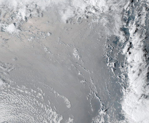
One hour after the eruption of the volcano the umbrella cloud measured around 640 km wide. Most of us are very poor at conceiving the scale of large numbers and find a distance such as 640 km hard to gauge. In order to provide a true sense of the scale of the eruption Reuters has created a number of visualizations showing the volcanic umbrella cloud on top of a number of well-known landmasses, including Florida, California, the UK, Spain and Israel.
The animated image of the eruption used by Reuters was created using imagery captured by the NOAA GOES-West satellite. If you want to create your own animations from satellite imagery there are a number of applications which can help you. For example the RAMMB/CIRA Slider allows you to view (and create animations from) satellite imagery from a number of different satellites in geostationary orbit above different locations around the world.
You can also use Streamlit for Geospatial Applications to create timelapse animations from satellite imagery. Streamlit uses a simple interface which allows you to create animations for any location around the globe from Landsat & GOES satellite imagery.


Comments