
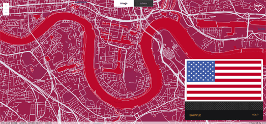
Esri UK's mapstyler is a fun little tool that can help you create a new map style from the colors found in an image.
To create a new map style with mapstyler you just need to drag & drop an image onto the map (either from another browser window of from your saved images). The map is then automatically restyled using the colors from your image. You can press the 'shuffle' button to experiment with which map features use which colors from your image.
When you are happy with your map style you can click the heart button to save a copy of your new styled map to your ArcGIS Online account.
Disclaimer: any similarity or resemblance to Mapbox' Cartogram is purely intentional
(just kidding! Esri were working on mapstyler long before the release of Cartogram).
No comments:
Post a Comment