How to Make a Map Poster
Here's a quick and easy way to make a simple map poster for any location in the world. Figureground Posters is an easy to use tool for creating map posters using OpenStreetMap data.
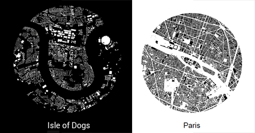
To create your poster simply click on the Figureground Posters interactive map to select the location that you want. You can then select a size for the area that you wish to map. Figureground Posters creates circular maps so just choose the radius size that you wish to map (up to 2000 meters). When you are happy with your chosen location and radius size just click 'Make Poster'. Figureground Posters will then create a simple map of your selected area using the building footprint data from OpenStreetMap.
Once you've created your map you can then add a place-name (or any other text to your map). You can also choose between showing your map as black building footprints on a white background or white building footprints on a black background.
That's it. You can now download your finished map poster as either a SVG or PNG image.


Comments