The History of the Ordnance Survey
In 1801 the Ordnace Survey published its first one-inch-to-the-mile map. The first map detailed the north of the county of Kent. Maps of south Essex soon followed. The Economist explains that these first maps covered the mouth of the Thames "reflecting worries that the French might invade. ... This is the naval route to London and a highly vulnerable part of the country."
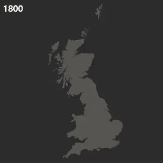
You can learn more about how the Ordnance Survey completed its first complete detailed map of the UK in How intrepid Victorian surveyors mapped the length and breadth of Britain. This scrollytelling history of the Ordnance Survey slowly proceeds to fill in a blank map of Britain with the Ordance Survey completed map sheets. As you scroll through the article you can follow the chronological progress of the OS's surveyors as they painstakingly map the whole of Britain, one geographical area at a time.
The Economist's article uses Rachel Hewitt's history of the Ordnance Survey 'Map of a Nation' to help tell the story of the production of the UK's first ever highly surveyed map. The scrollytelling presentation itself uses digitised versions of the original OS one-inch-to-the-mile maps. At the end of the article an interactive map allows you to explore every single map sheet of Britain in reasonable detail. If you want to explore historical Ordnance Survey maps in more detail then you should also check out the interactive versions of OS maps published by the National Library of Scotland.


Comments