Miami's Future City Skyline

You can now explore how Miami's skyline will look in the future on a new 3d interactive map created by Miami's Downtown Development Authority. The map includes 3d models of the 116 building projects either proposed, under construction or recently completed in Miami.
The Miami DDA 3D Map used the Cesium mapping platform to present a 3d map of downtown Miami which allows you to explore the effect of the new buildings on the skyline from any angle. You can even click on the individual buildings on the map to learn more about its developer, status and building type.
The colors of the buildings on the map indicate whether the project is planned, proposed, under construction or completed.

Miami's map is just the latest of a number of recent 3d maps which visualize the effect on city skylines of building projects.
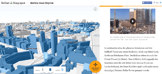
For example, Berlin's neue Skyline recently used 3d building data from OSM Buildings to create a story map exploring Berlin's growing skyline. As you scroll down the page on the map you can see how the center of Berlin has changed since 1990.
The Berliner Morgenpost's map of Berlin was itself inspired by the New York Times' Reshaping New York 3d map. Reshaping New York looks at how New York changed in the first 12 years of Michael Bloomberg's reign as mayor.


Comments