
OpenStreetMap gives developer the option to change colors, line thicknesses and even change the fonts used in the map labels.
Here are five great examples of OpenStreetMap map styles:
1. Watercolor Map
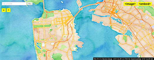
Stamen's Watercolor Map is rightly one of the most popular and well known map styles. I've even seen this one popping up in maps developed with the Google Maps API, swapping out the Google Map tiles for this beautiful OpenStreetMap. If you like the Watercolor Map style you should also have a look at Oregon State University's Crinkled Watercolor Map.
2. The Comic Sans Map
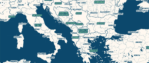
This one really shouldn't work. Using the world's most despised font you would think would make this map style a complete disaster. However the Comic Sans Map is not only a great example of how changing the label font can have a huge influence on a map's design it actually looks great as well.
3. The Burning Map Style
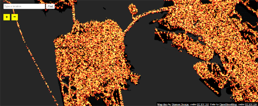
Back to Stamen again. I'll admit outside a fun Burning Man map I can't think of many cases when you would want to use the Burning Map style. However the Burning Map is a great example of how you can use the latest WebGL technology to interact with the underlying OpenStreetMap data to create truly dynamic maps.
4. Red Alert
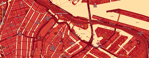
Cloudmade's Map Style Editor has a huge number of example map styles created with the editor. There are hundreds of styles to choose from here. I went for this Red Alert style but you can browse through the user submitted styles yourself (under Change Style) to find your own favorite styles.
5. MapBox Streets
MapBox Streets is probably the most ubiquitous OpenStreetMap style (for example it's used by foursquare). The map itself was built to be customized and users can change the map colors, show and hide features, and even configure the labeling language.
No comments:
Post a Comment